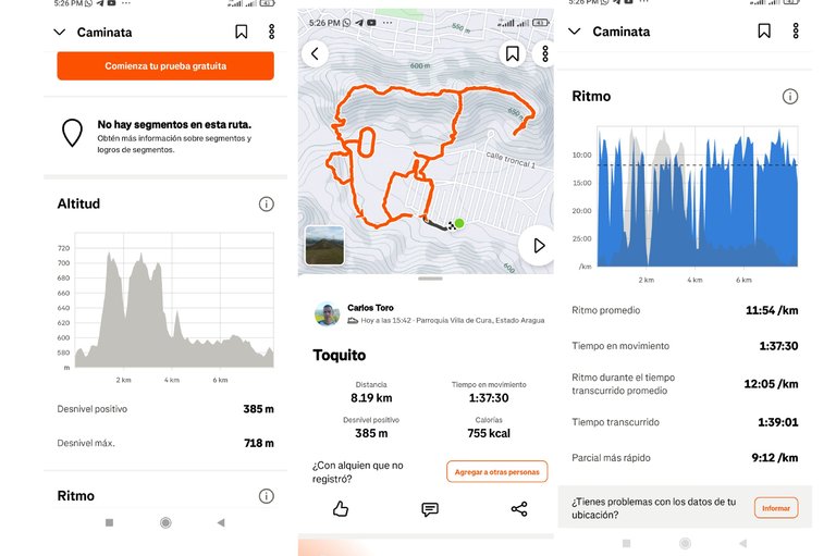
Entrenamiento de Caminata de Montaña El Toquito 8.19 K
Greetings, friends of Hive and @fulldeportes, today I'm going to share with you this walking workout I did on El Toquito Hill, in the community of Villa de Cura, Zamora municipality, Aragua state.
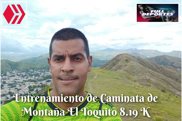
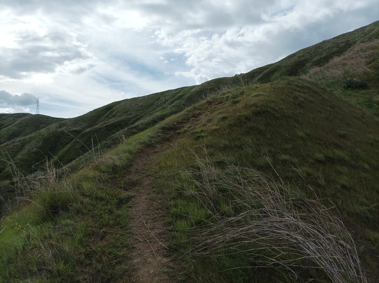
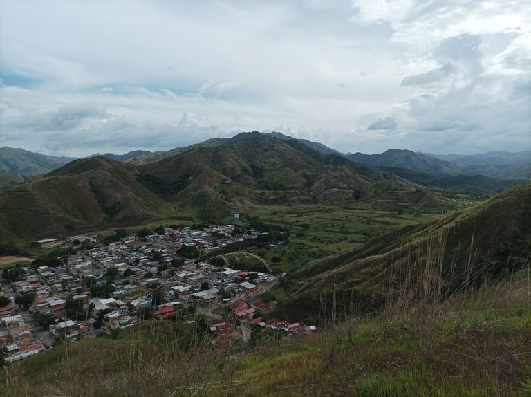
Cabe destacar que este entrenamiento no lo tenía planificado para hoy, pero en vista de que mi hija tenía práctica de voleibol en la Aldea Universitaria, y tenía que acompañarla, entonces nos fuimos en carro hasta la universidad. Después a las 3:45 inicié mi entrenamiento desde este sector El Toquito, cuya montaña está cerca. El clima estaba nublado pero después salió el sol y el calor se comenzó a sentir, comencé a adentrarme a la.montaña, pasando por las tres subidas y al llegar la cima, llevaba una distancia de 1.37 K, con un tiempo de 19 minutos.
It's worth noting that I hadn't planned this training for today, but since my daughter had volleyball practice at the University Village and I had to accompany her, we drove to the university. Around 3:45 a.m., I started my training from this El Toquito area, whose mountain is nearby. The weather was cloudy, but then the sun came out and the heat started to set in. I began to head deeper into the mountain, climbing three hills, and by the time I reached the summit, I had covered a distance of 1.37 km, with a time of 19 minutes.

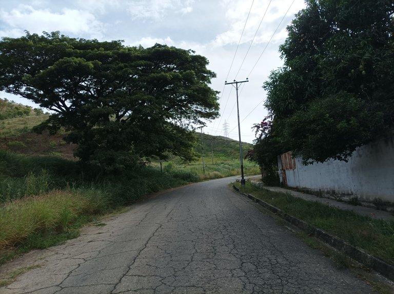
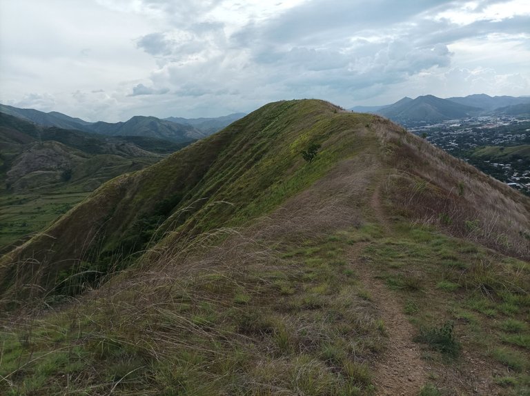
Después, continúe mi recorrido para bajar por el lado derecho de la montaña, unos cuatrocientos metros, cuya bajada es bien pronunciada. Luego me regresé para bajar por detrás de la pista, se sentía una fuerte brisa, en esta parte de la montaña. Una vez que finalice el descenso, llegue por detrás de la pista recorriendo una distancia de 4 K. Luego subí la montaña que cerca de la pista, ya el se había ocultado y había menos calor.
Afterwards, I continued my journey down the right side of the mountain for about 400 meters, the descent being quite steep. I then turned back to descend behind the trail. There was a strong breeze on this part of the mountain. Once I finished the descent, I reached the trail behind the trail, covering a distance of 4 kilometers. I then climbed the mountain. Near the trail, the wind had already set, making it less hot.

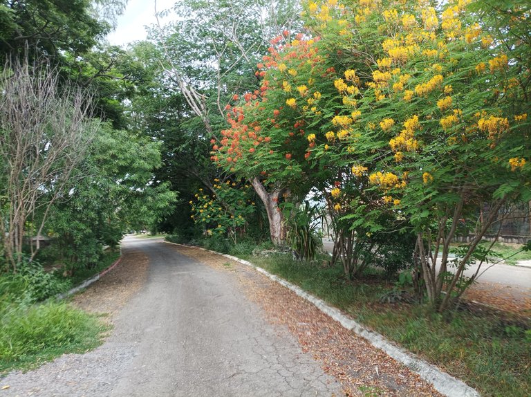
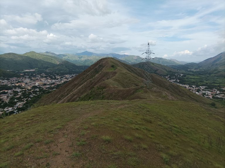
Asimismo, al terminar de bajar de la montaña, para hacer más distancia, le di tres vueltas a la pista. Después como ya era casi la 5 de la tarde, tenía que regresar, al mismo punto de partida, pero después hice el recorrido del Country, para llegar nuevamente a la urbanización del Toquito y llegar a la Aldea Universitaria, con una distancia de 8.19 K, con un tiempo de 1 hora 36 minutos, con un desnivel positivo de y un desnivel máximo de, registrado en la aplicación Strava.
Likewise, after finishing the descent from the mountain, to gain more distance, I ran three laps of the trail. Then, as it was almost 5 p.m., I had to return to the same starting point, but then I did the Country Course route, arriving back at the Toquito neighborhood and reaching the University Village. This distance was 8.19 km, with a time of 1 hour 36 minutes, a positive gradient of 1 and a maximum gradient of 1, recorded on the Strava app.

Espero que les haya gustado, nos vemos en una próxima publicación.
I hope you liked it, see you in a next post.
Fotografías: Teléfono Redmi Note 10
Portada realizada en APP GridArt
Logos utilizados de Hive y de @fulldeportes
Traductor utilizado: Traductor de Google
Photos: Redmi Note 10 Phone
Cover made in The APP GridArte
Used logos of Hive and @fulldeportes
Translator used: Translator used: Google Translate

Vote la-colmena for witness By @ylich

Amigo que gusto saludarte y desearte un feliz día. Me alegro que disfrutes de tus caminatas en esos espacios naturales y espectaculares. Me gustaron las hermosas fotografías del lugar. Ejercitarse rodeado de la naturaleza nos revitaliza y renueva las energías. Un abrazo 🤗.
Gracias amiga, abrazos
Buenas vistas
Saludos amigo.