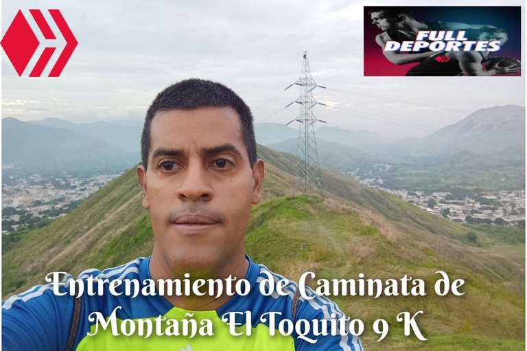
Entrenamiento de Caminata de Montaña El Toquito 9 K
Greetings, friends of Hive and @fulldeportes, today I'm going to share with you my hiking training on the El Toquito hill route, in the community of Villa de Cura, Zamora municipality, Aragua state.
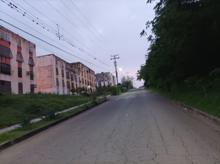
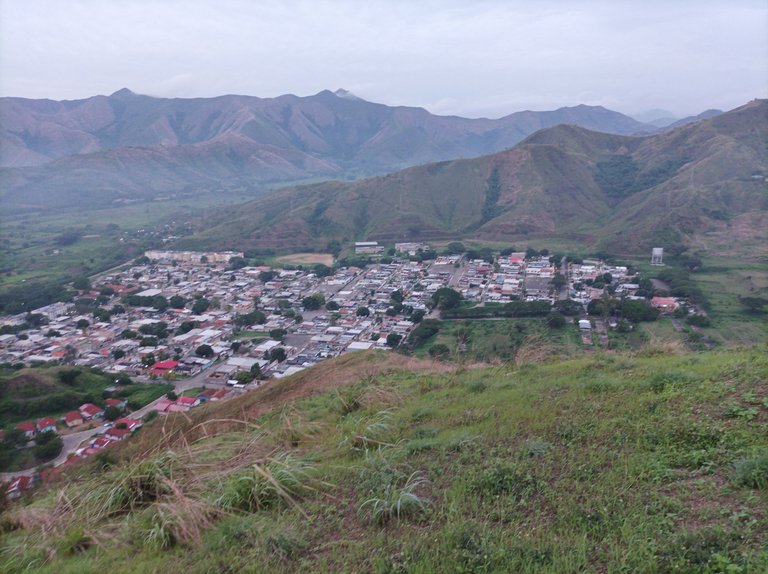
Cabe destacar que no entrenaba desde el día domingo, y como tenía el día libre, decidí hacer este entrenamiento, me levanté bien temprano, hice algunos ejercicios de calentamiento para salir a las 5:43 am, estaba claro, con un clima agradable, inicié mi recorrido a un ritmo de un 70%, subiendo por la calle doctor Morales, pasando por todo el centro de Villa de Cura y luego en la redoma me desvié al sector del Toquito, una vez llegué al final, la aplicación registro un tiempo de 20 minutos.
It is worth noting that I had not trained since Sunday, and since I had the day off, I decided to do this training session. I got up very early, did some warm-up exercises to leave at 5:43 am. The weather was clear and pleasant. I started my run at a pace of 70%, going up Doctor Morales Street, passing through the center of Villa de Cura, and then at the roundabout I turned off to the Toquito sector. Once I reached the end, the app recorded a time of 20 minutes.

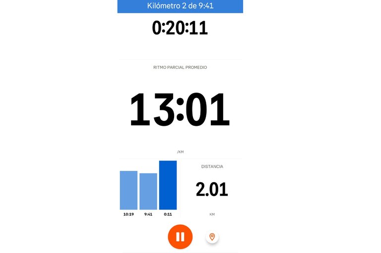
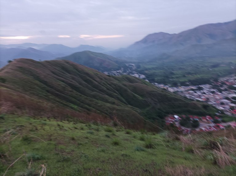
Después, comencé a adentrarme a la montaña, cuya superficie está cubierta de arbustos verdes y los árboles se han recuperado debido a las lluvias, en esta parte me encontré con un amigo caminante que ya venía bajando la montaña, pase la primera subida, manteniendo el mismo ritmo, luego continúe avanzando, hasta llegar a la segunda subida, me detuve algunos segundos para hacer algunas fotografías de este bello paisaje. Al llegar a la cima, la aplicación de Strava registro un tiempo de 31 minutos con 40 segundos.
Afterwards, I began to head deeper into the mountain, whose surface is covered in green bushes, and the trees have recovered due to the rains. At this point, I met a friend who was already walking down the mountain. I climbed the first hill, maintaining the same pace, then continued until reaching the second hill. I stopped for a few seconds to take some photographs of this beautiful landscape. Upon reaching the summit, the Strava app recorded a time of 31 minutes and 40 seconds.
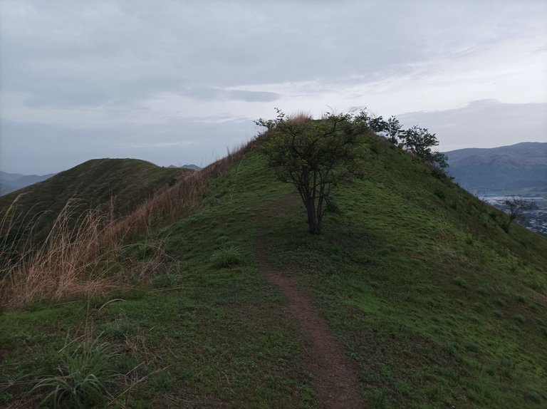
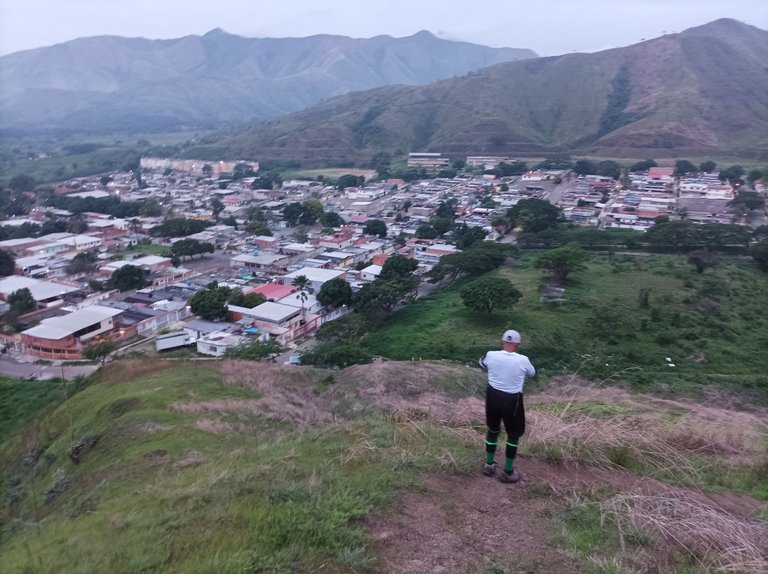
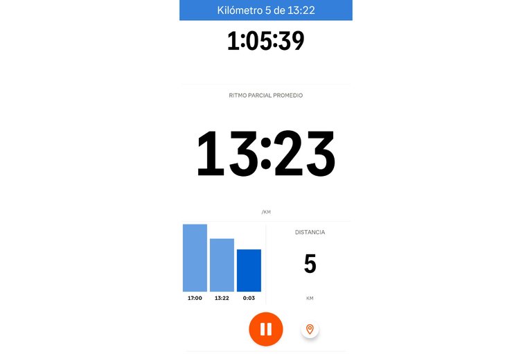
Asimismo, se puede observar desde la cima todo el centro de Villa de Cura y El Toquito, continúe caminando al lado derecho para bajar, estás bajadas son bien pronunciada, como doscientos metros y luego me regresé, este retorno se convierte en una subida bien exigente. Después de llegar nuevamente a la parte alta continúe caminando del lado izquierdo, para apreciar desde la altura, la pista de atletismo, y comencé a bajar, completando los 5 K en un tiempo de 1 hora 5 minutos.
From the summit, you can also see the entire center of Villa de Cura and El Toquito. Continue walking to the right to descend. These descents are quite steep, about two hundred meters. Then I turned back. This return becomes a very demanding climb. After reaching the top again, I continued walking to the left to appreciate the athletics track from above. I then began the descent, completing the 5K in a time of 1 hour 5 minutes.

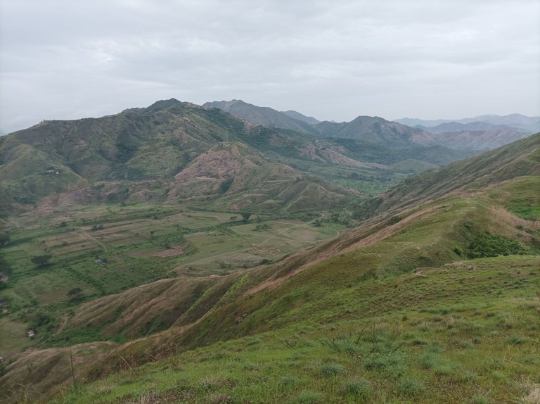

Luego terminé de bajar, para pasar cerca de la pista, y subir la montaña que está detrás, llegué a la cima y seguí bajando para recorrer una parte que se llama El Country. Después llegué a la comunidad del Toquito, para bajar y recorrer la doctor Morales, y finalizar mi entrenamiento en el mismo punto de salida, con un tiempo de de 1 hora 51 minutos, una distancia de 9 K, con un desnivel positivo 390 m y un desnivel máximo de 718 m, registrado en la aplicación Strava.
Then I finished descending, passing near the track, and climbed the mountain behind it. I reached the summit and continued down to explore a section called El Country. Then I arrived at the community of Toquito, to descend and explore Doctor Morales, and finish my training at the same starting point. I finished my training with a time of 1 hour 51 minutes, a distance of 9 km, a positive elevation gain of 390 m, and a maximum elevation gain of 718 m, recorded on the Strava app.


Espero que les haya gustado, nos vemos en una próxima publicación.
I hope you liked it, see you in a next post.
Fotografías: Teléfono Redmi Note 10
Portada realizada en APP GridArt
Logos utilizados de Hive y de @fulldeportes
Traductor utilizado: Traductor de Google
Photos: Redmi Note 10 Phone
Cover made in The APP GridArte
Used logos of Hive and @fulldeportes
Translator used: Translator used: Google Translate

Vote la-colmena for witness By @ylich

Excelente.
Gracias
Y pensar que íbamos a vivir allí a no ser porque mi esposa se arrepintió a última hora de no hacer negocio precisamente en esos apartamentos que se observan en esa fotografía, gracias a Dios esperamos y creo que fue la mejor opción donde estamos hoy. Estos días son ideales para hacer hiking porque no habrá muchas actividades en la comunidad.
Saludos amigo, si eso apartamento son muy pequeños por dentro, fue una buena decisión, gracias por comentar.